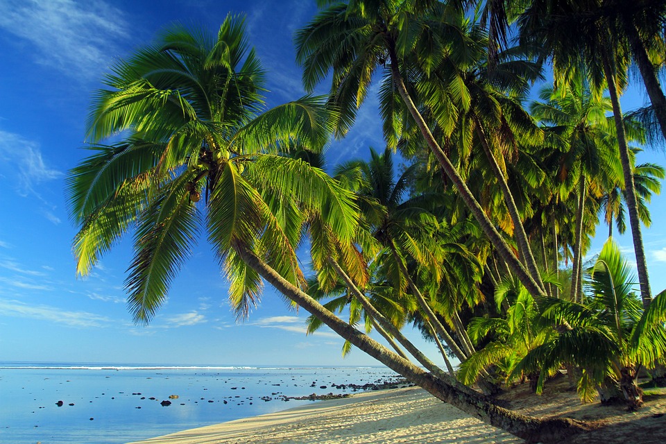
Cook Islands
Name: Cook Islands
Continent: Oceania
Latitude: -21.2367
Longitude: -159.778
Capital: Avarua
Population: 21388
This map of Cook Islands is CC-BY_SA 2.0 OpenStreetMap. It can be used for free on your website, facebook page etc a link back to this site http://www.freecountymaps.com would be appreciated. The above statistics on Cook Islands may not be currenty accurate.