Free Maps of the World
Country and town maps free for private or non commercial use.
Free world maps, country maps, town and outline maps.
Providing data on countries, towns, places of interest and streets.
Custom built maps, databases and other mapping solutions.
Free Country Maps is a resource for anyone who needs to learn more about countries around the world. Our website provides a wide variety of maps and information that are perfect for school projects, Youtube videos, or any other purpose you might have.
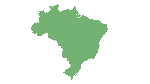
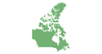
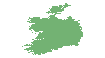
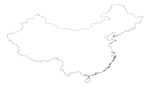
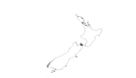
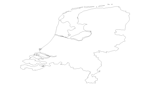
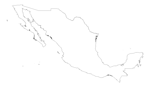
With Free Country Maps, you can easily access detailed maps of every country in the world. Our maps are designed to be easy to read and include a wealth of information about each country, including major cities, rivers, lakes, mountains, and other important landmarks. You can also view political maps that show the borders between countries and their capital cities.
In addition to our maps, we also offer a range of statistics and information about each country. This includes basic information such as population, languages spoken, and currency used, as well as more detailed information such as economic indicators, climate data, and historical information.
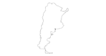
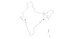
For those who need a blank map for a school project or Youtube video, we offer a range of free blank maps that you can use for any purpose. Whether you're creating a presentation on world geography or want to create a custom map of a specific region, our blank maps are the perfect resource.
At Free Country Maps, we are committed to providing accurate and up-to-date information about every country in the world. Our website is easy to use and navigate, making it simple to find the information you need. So whether you're a student, a teacher, or just someone who loves to learn about the world. Please do note that Free Country Maps is very much a work in progress, updated regularly and new maps added weekly.


Build maps of every country in the world.
In progress
Extract OpenStreetMap data.
In progress
Provide extracted data in a variety of forms.
Planned.
Make detailed high resolution road maps.
In progress / Planned
Providing free maps. We can also provide latitude and longitude information on towns, cities, places of interest and in some cases streets for most countries.


