Blank Maps of Eritrea

Blank maps from free country maps.com

Home > Free Country Maps > Eritrea > Blank Map


Free Country Maps


Eritrea Blank Maps

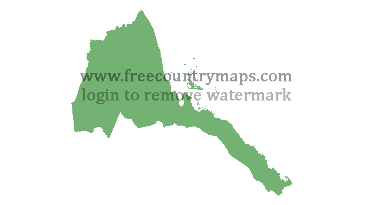
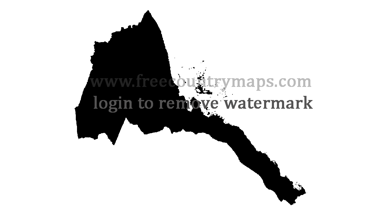
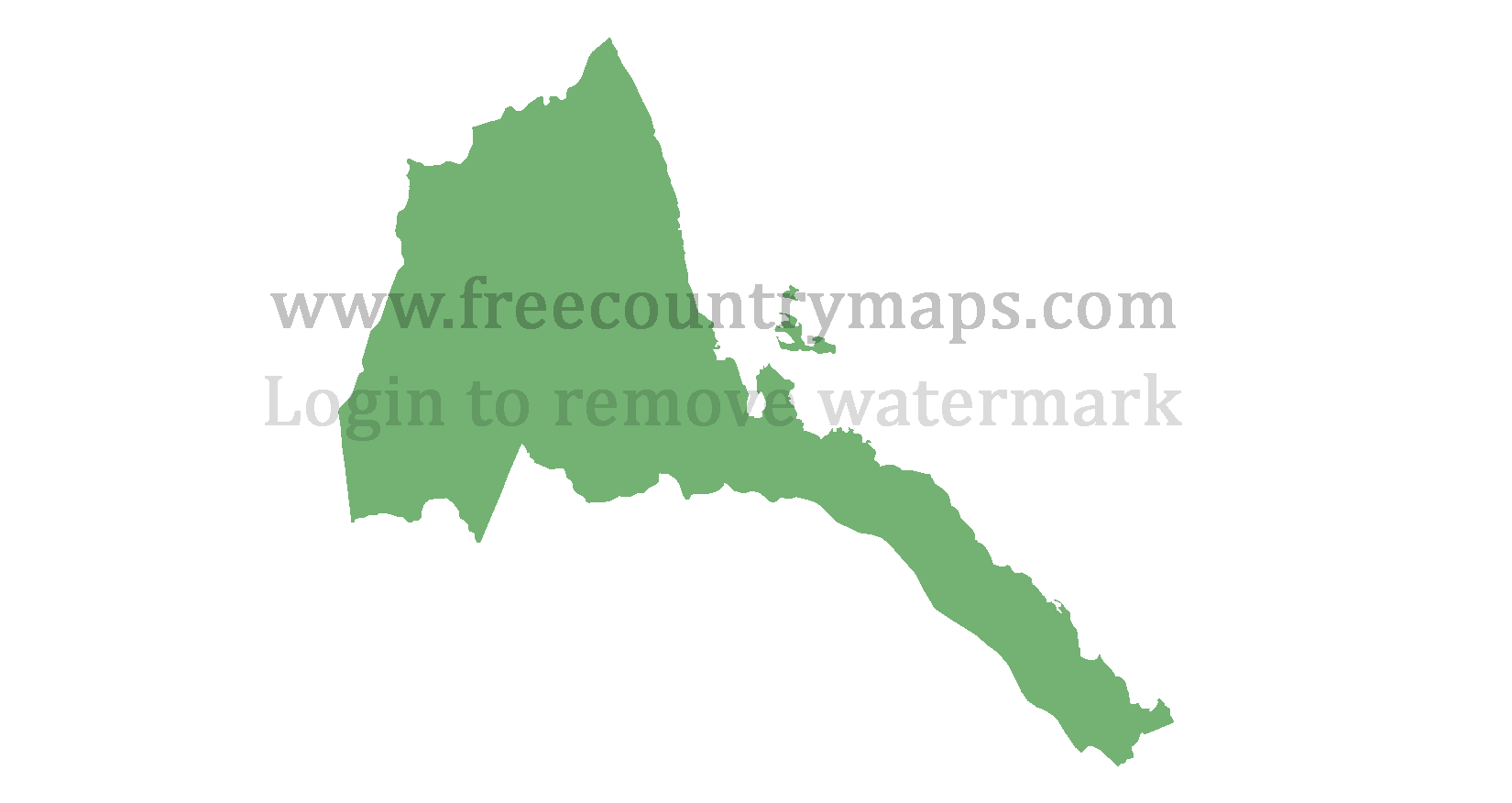
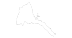
These blank maps of Eritrea cannot be displayed as they are on any other website, they can be used as a base for whatever project you wish to use them for be it a YouTube video, print on a t-shirt, school project etc.

The maps are in two formats WGS 84 and Web Mercator. Some of them are 1080x720 so they are all ready to use in a YouTube video.

If your school / university etc project requires you to acknowledge the source then you can use https://www.freecountrymaps.com/map/country/eritrea-map-er/blank-maps/.

Eritrea Map Outline

Eritrea

Continent: Africa
Sub Region: Eastern Africa
Area in Square Kilometers: 121320
Area in Square Miles : 75385

Bordering Countries: : Djibouti :: Ethiopia :: Sudan :


WGS Outline Maps of Eritrea

Log in or Sign up to remove watermarks. Sorry but this is the only way to stop web scrappers. It is instant and you will not recieve any spam. Thanks.

These blank maps are 2 colors so the green can easily be changed to whatever color you wish.

Blank Map of Eritrea

Transparent Blank Map of Eritrea it is 1280 x 720 px so it can easily be used for a YouTube video. Transparent Blank Map of Eritrea

Black Blank Map of Eritrea in gif format also 1280 x 720 px. Gif Blank Map of Eritrea

Web Mercator Blank Map of Eritrea

Eritrea Blank Mercator Map


Log in or Sign up to download the vector blank maps of Eritrea, I have them in .pdf, .eps, and .svg vector file format. Contact me if you need this blank map of Eritrea in anyother file format or if you notice any mistakes with this map of Eritrea.

WGS84 Vector Maps

PDF Blank Map of Eritrea EPS Vector Blank Bap of Eritrea SVG Blank Map of Eritrea : Vector Maps

Web Mercator Vector Maps

PDF Blank Map of Eritrea EPS Vector Blank Bap of Eritrea SVG Blank Map of Eritrea : Vector Maps


WGS 84
Web Mercator