I also have vector outline maps of Papua New Guinea available in .pdf, .svg, and .eps although I have not put these vector maps online as yet but you are welcome to contact me through the contact form and I will send them to you.
These outline maps cannot be displayed on any other website, they can only be used as a base for whatever project you wish to use them for be it a YouTube video, school project, print on a t-shirt etc.
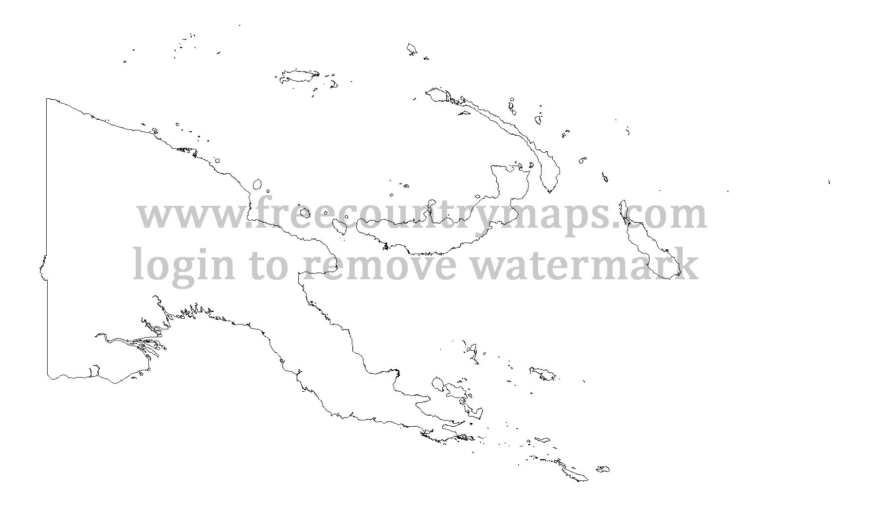
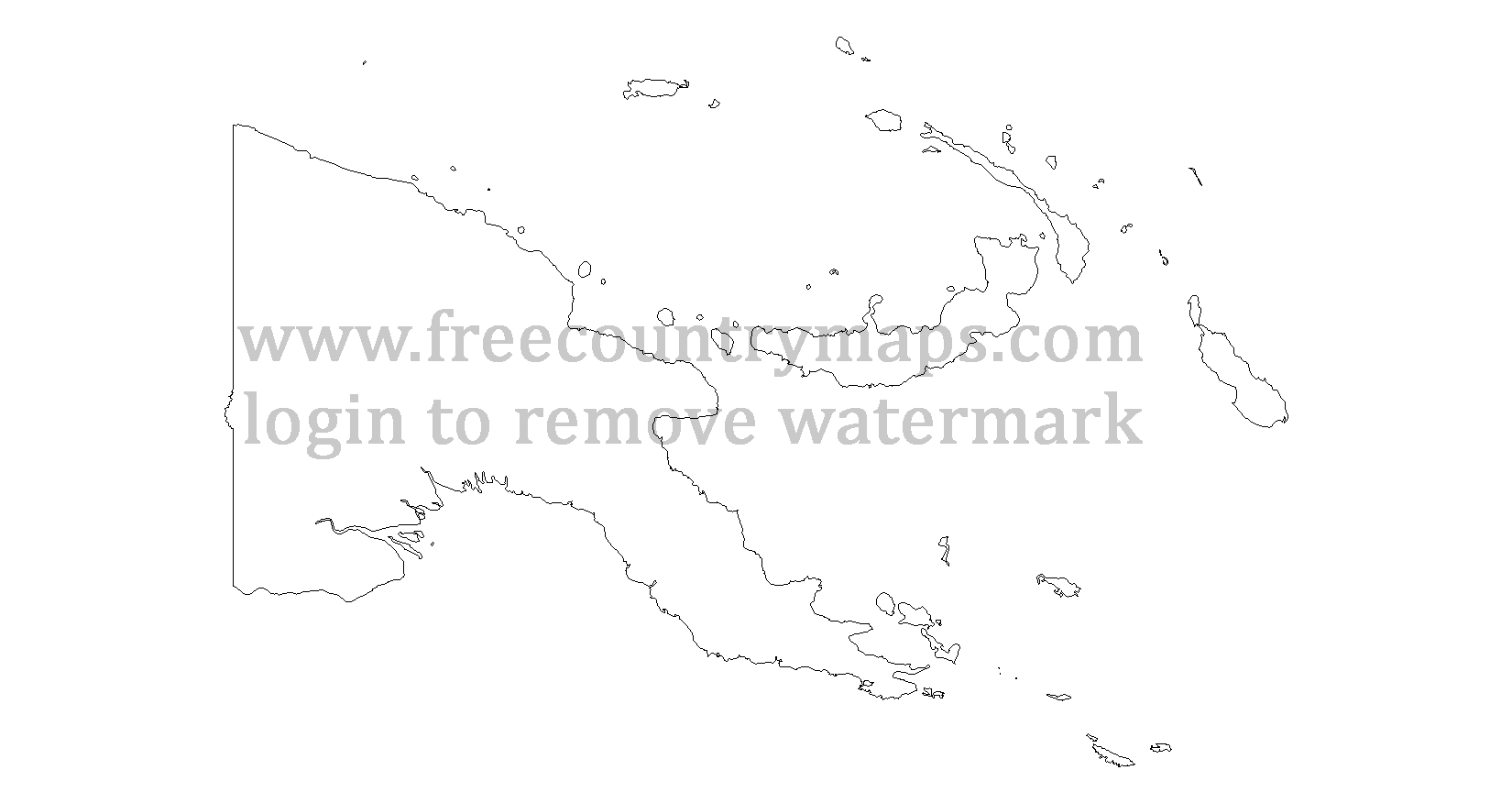
The maps are in two formats WGS 84 and Web Mercator. Some of them are 1080x720 so they are all ready to use in a YouTube video.
If your school / university etc project requires you to acknowledge the source then you can use http://www.freecountrymaps.com/map/country/papua-new-guinea-map-pg/outline-maps/.
Papua New Guinea
Land Border Lenght in Km: 820
Land Border Lenght in Mi: 510
Coastline Lenght in Km: 5152
Coastline Lenght in Mi: 3201
Neighboring Countries (Border Lenght): Indonesia: 820 km (510 mi)
Number of Borders: 1
Number of Bordering Countries: 1
Bordering Countries: : Indonesia :
WGS Outline Maps of Papua New Guinea
Log in or Sign up to remove watermarks. Sorry but this is the only way to stop web scrappers. It is instant and you will not recieve any spam. Thanks.
Web Mercator Outline Map of Papua New Guinea
Check your email
We've sent you an email. Click the link in the email to activate your account.
If you don't see the email, check other places it might be, like your junk, spam, social, or other folders.
Check your email
We've sent you an email. Click the link in the email to activate your account.
If you don't see the email, check other places it might be, like your junk, spam, social, or other folders.
Account activated
Your account has been activated. You can login now.
Log in or Sign up to download the outline vector maps of Papua New Guinea, I have them in .eps, .pdf, and .svg vector file format. Contact me if you need this outline map of Papua New Guinea in anyother file format or if you notice any mistakes with this map of Papua New Guinea.